I'm sitting at a picnic table across from Dale Loberger, a GIS professional who also is a living history practitioner about surveying and mapmaking (the term "cartography" postdates the 17th century).
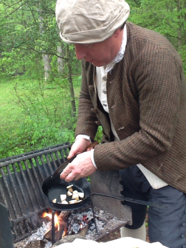
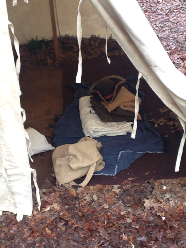
Dale slept in a mid-18th century tent,is wearing period clothing, and will spend the rest of the day teaching me to use period surveying tools. Dale is another in a long string of Heroes of the Lawson Trek who is giving time and energy to help us understand what life would have been like for Lawson.
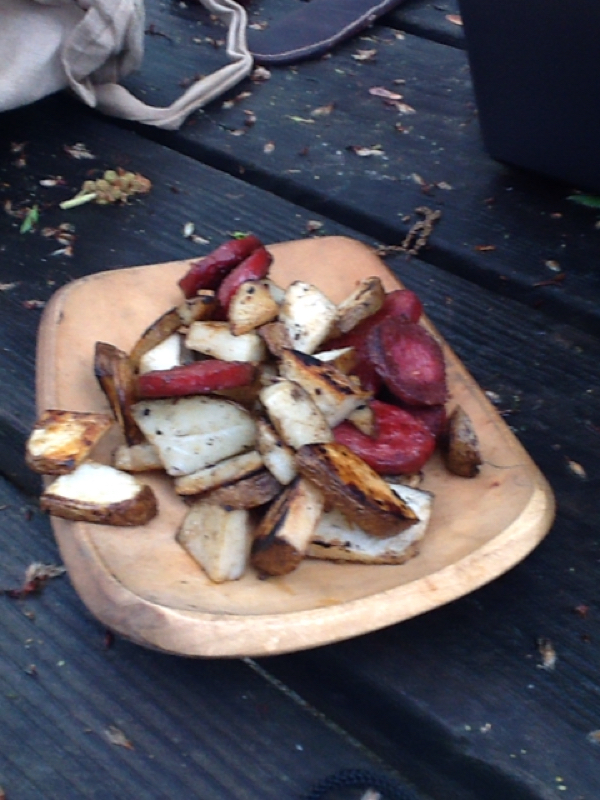
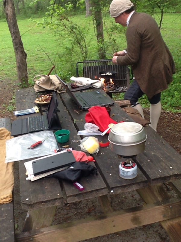
Anyhow Dale tried manfully to get a fire going this wet and humid morning with flint and steel and charcloth, but no soap. We couldn't even make fire with my lighter, though when we finally used Dale's candle we got things going. Dale cooked sausage and potatoes. I made coffee on my gas camp stove.
It's been that kind of morning. In between starting fire and eating with his knife like a proper explorer, Dale takes calls for his work and at one point pulled out his laptop to send someone a spreadsheet. Meanwhile I document everything with my phone and now sit and type with my keyboard and tablet. This feels far from inauthentic -- it feels perfectly true and valid. We are here now.
The food tastes like the fire. The coffee tastes like plastic. "If Lawson only had mobile hotspots," Dale says. You mean he didn't?
My travel this segment takes me from Lancaster into Pineville, NC, about 32 miles. To give myself enough time to spend today learning with Dale, I walked 24 miles yesterday. That's a lot of walking.
The last few miles came as I slogged my way through briars in a not-recently-maintained right of way along a power line. That was Plan B; Plan A was following a trail drawn by my absolutely trustworthy source for Lawson's route, Val Green. I suspect I might have been able to follow Val's trail had I had energy and spirit, but for the last couple miles of a 24-mile day I wasn't prepared, and when the going got rough I headed along the power line -- at least I knew where that would take me.
I hadn't expected the briars, though, and I was in shorts, and it was late and I was just powering along, scraping my legs and saying, "Damn, you, Val!" pretty frequently. Here's the thing, though. As I followed that power line, I crossed the kind of indentation that, from my trip near the Catawba last trek and my walks along other roads Val has sent me on (and Dale has explained to me), I was able to instantly recognize as old roadbeds. That is, the place is crawling with old roads. People have been trying to get from hither to yon for generations, for centuries, and the signaures of their efforts remain on the land. One of them may have been the exact trail Lawson followed. I'd have never seen these without following Val's suggestions. So ok, Val -- not damn you. Still: briars.
Anyhow, this breakfast is by far the best the Lawson Trek has enjoyed, and it's about time to go learn to survey the way Lawson would have.
Also -- today, April 14, at 4 pm, the Lawson Trek will do a live stream on Periscope. Look for a stream from either @huler or @lawsontrek (i can never tell which I am; Twitter makes me crazy) at 4 pm. Sign on, listen in, and heart the crap out of us. See you then!
By the way -- I got a flame started myself, using flint, steel, magnesium shaving, and saved dryer lint. It was cool: my first no-match flame. But once you've used mined magnesium shavings and dryer lint, I'm not sure that flame qualifies as less technologically advanced than a match. Just saying.


 RSS Feed