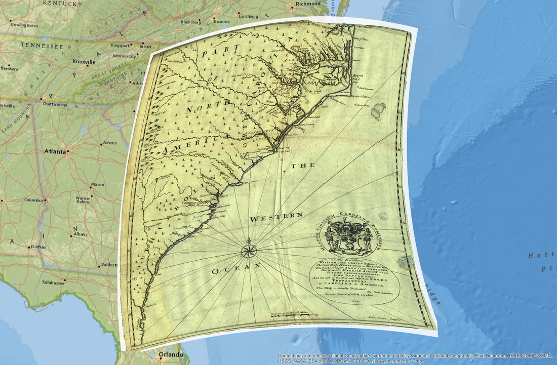
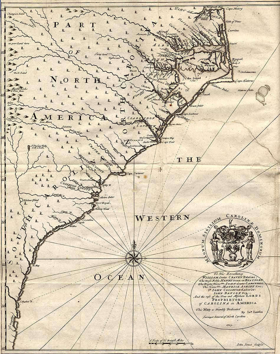
Above this text you see the combined images of a standard Google map with the map that Lawson published with his book georeferenced onto it, showing two combined things. One is just how awesome map and library people are (Philip McDaniel, the GIS librarian at Davis Library at UNC, made this for me). The other is how accurate Lawson's map was despite his limitations. Actually, maps have been accurate for a very long time—the first map of the Carolina coast, made by John White in 1587, is instantly recognizable as the Carolina coast today. You can learn more about NC maps in the video below and read about them here.
| | Lawson's map, not included in the video, is not particularly useful to historians. Though it shows a few locations of Indian tribes, which has been helpful, it also gets some pretty basic stuff wrong. For example, the Wateree and Congaree rivers flow together to form the Santee, south of where Charlotte is now, which then runs to the coast. But near the coast, the Santee separates into two channels, the North and South Santee channels. Lawson's map represents the north channel as being the Wateree, which, nuh-unh. Oh well. It's a thing |
I bring it up because as we near the date of publication for A Delicious Country, I'm at work creating a poster of Lawson's journey, with Lawson's map (with Lawson's-- and my -- route shown thereon) at its center. I hope this will be a cool thing for schoolrooms and kids and anyone who wants to keep Lawson in mind. More, we're also at this moment designing a museum exhibit that will show up first at the City of Raleigh Museum in October 2019. It'll have maps and images and artifacts and explanations of Lawson's life and journey, as elucidated by my own retracing. It should be enormous fun. Designing it sure is. Plan on coming to see it -- or on pestering your local museum to host it after it's been in Raleigh for a few months. It'll travel! It's about Lawson -- travel is in its DNA. With all those maps, maybe it'll even know where it's going.


 RSS Feed